
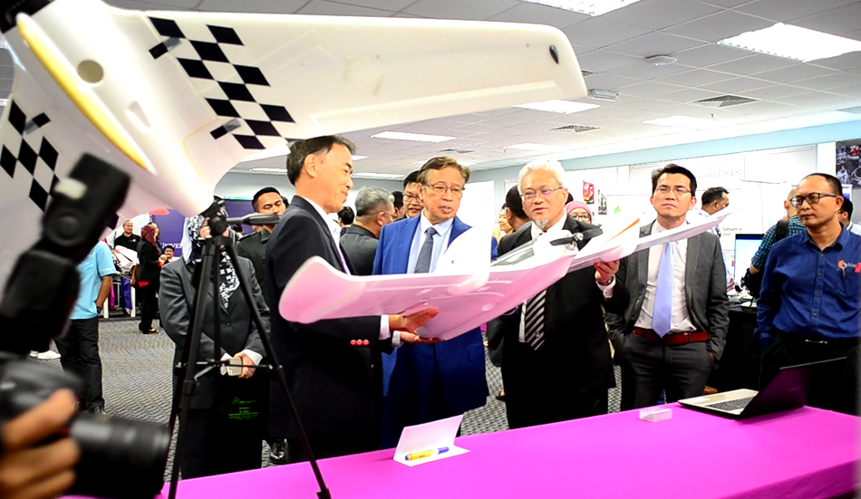
Providing a total solution in drone aerial photography, inspection and mapping
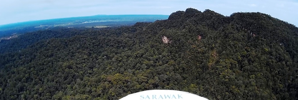
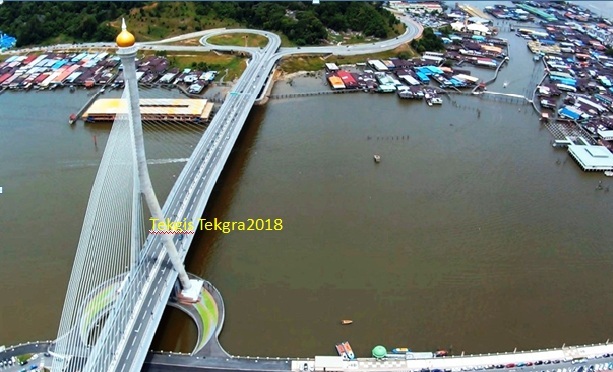
Tekgra provides extensive drone aerial photgraphy services throughout Sarawak.
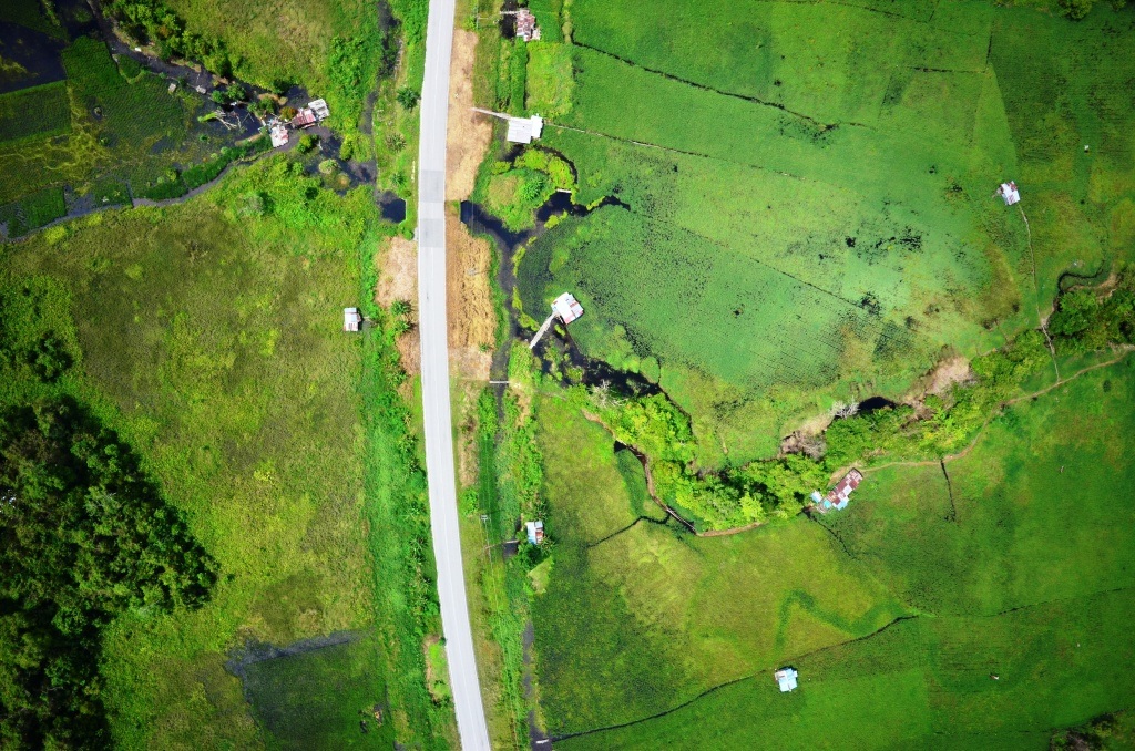
Due to the unique environment of flying inside oil plantation estates, we have developed techniques and customisation to our UAVs based on many years of flying experience. For example, estates typically do not have straight, flat or wide landing areas away from the main office.
Our camera and imaging systems are customised according to the client′s needs. We listen to our client′s requirements before proposing and configuring a system to suit that environment.
We use compact cameras and all the way to 1.5kg digital Nikon SLRs in our largest UAV.
Since we are from a commercial GIS background going way back to 1991, we apply our GIS expertise to manipulate and process those images into geo-reference imageries that can then be integrated into a GIS system′s coordinate system, be in Latlong or RSO.
With over 15 years of experience with ESRI, Autodesk, MapInfo and QGIS, we provide integrated solution for aerial photography and GIS digital mapping.