
Gallery
Tekgra drone over oil plantation.
Tekgra drone over oil plantation.
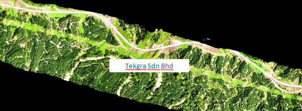
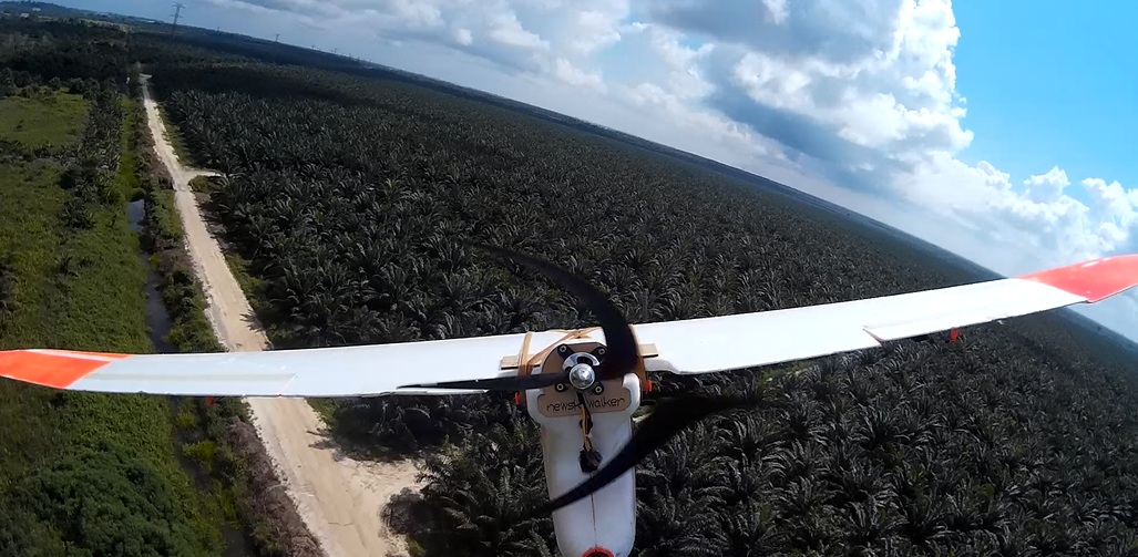
Tekgra's T6 UAV flying over 5km stretch of oil plantation in Bakun.
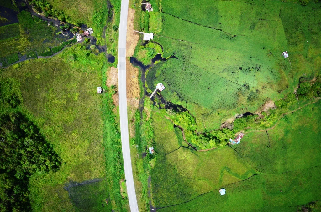
Aerial photography Kg Ayer from a Tekgra fixed-wing UAV in Brunei.
Sarawak Chief Minister visiting our booth.
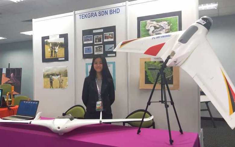
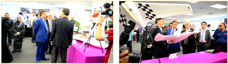
Tekgra ICONDA 2019 exhibition
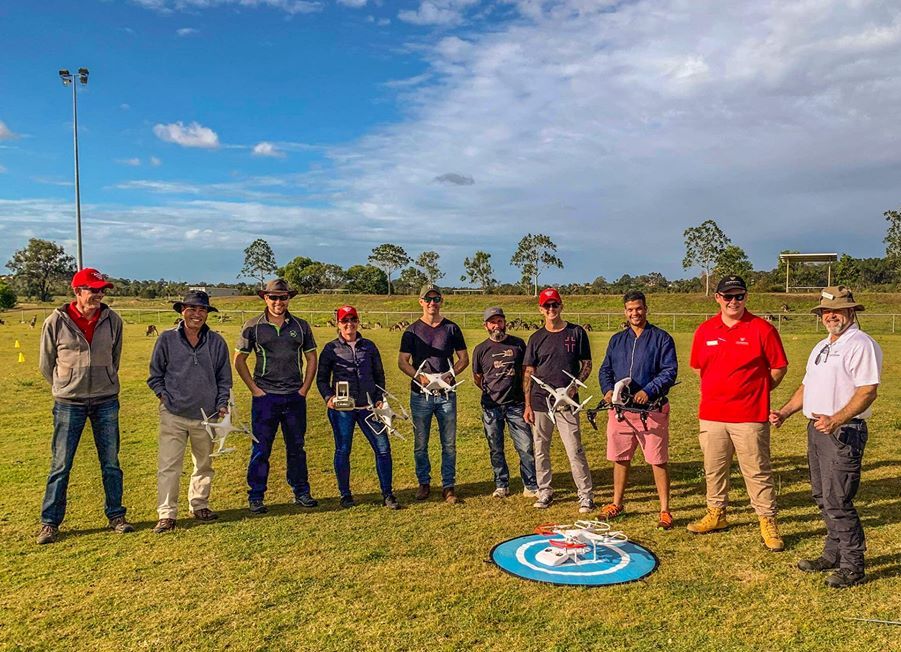
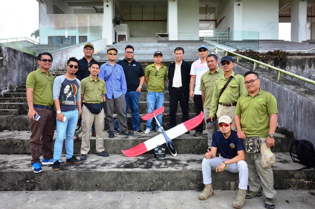
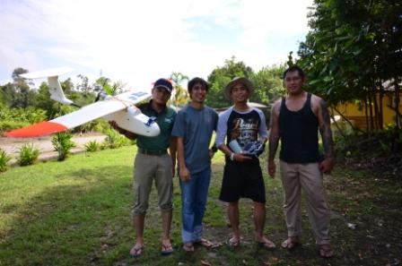
Bribane and a gang of drone pilots
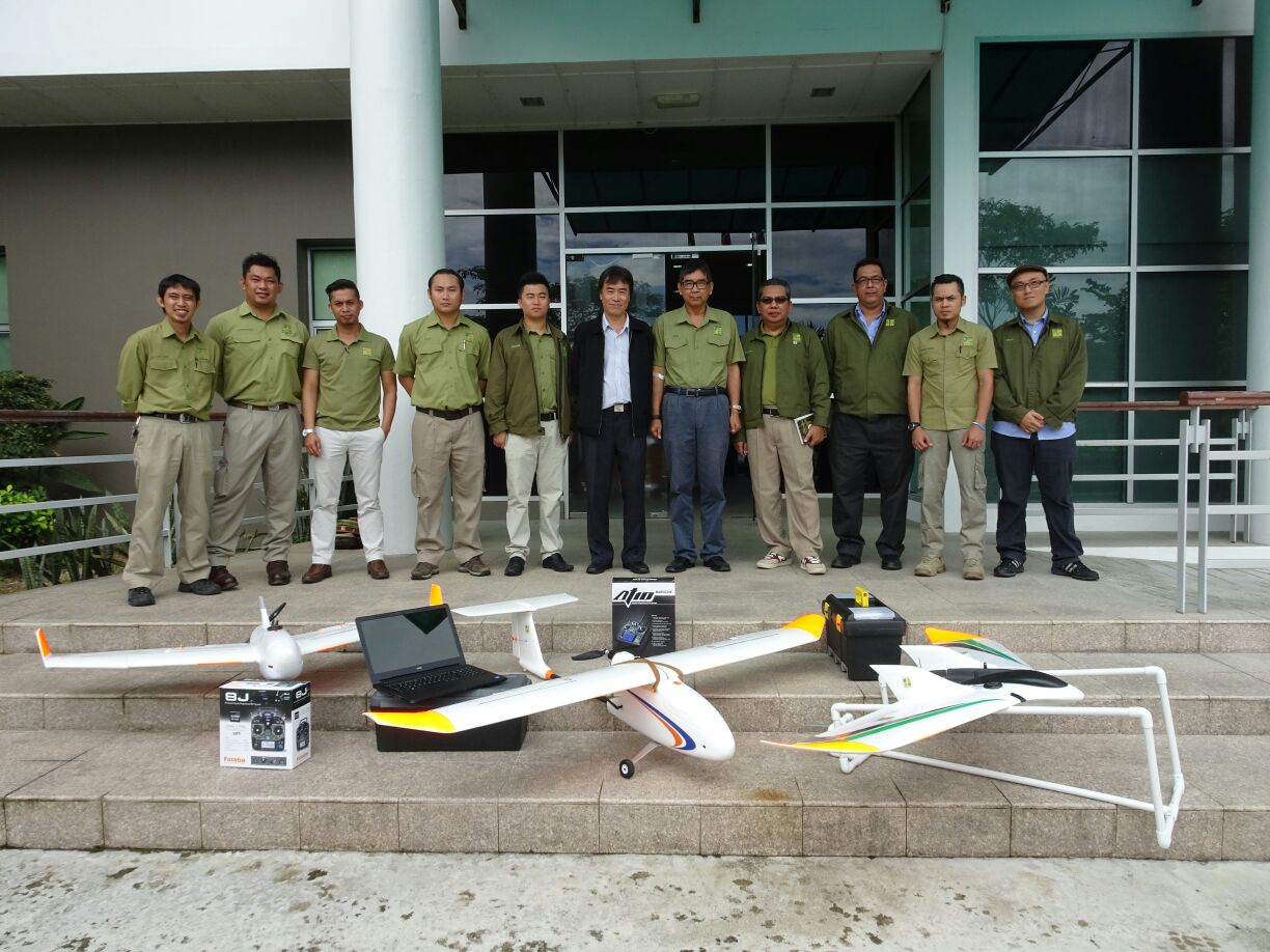
SFC drones handover
Tekgra T8 drone for oil plantation company
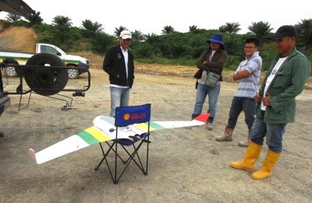
Drone flying training
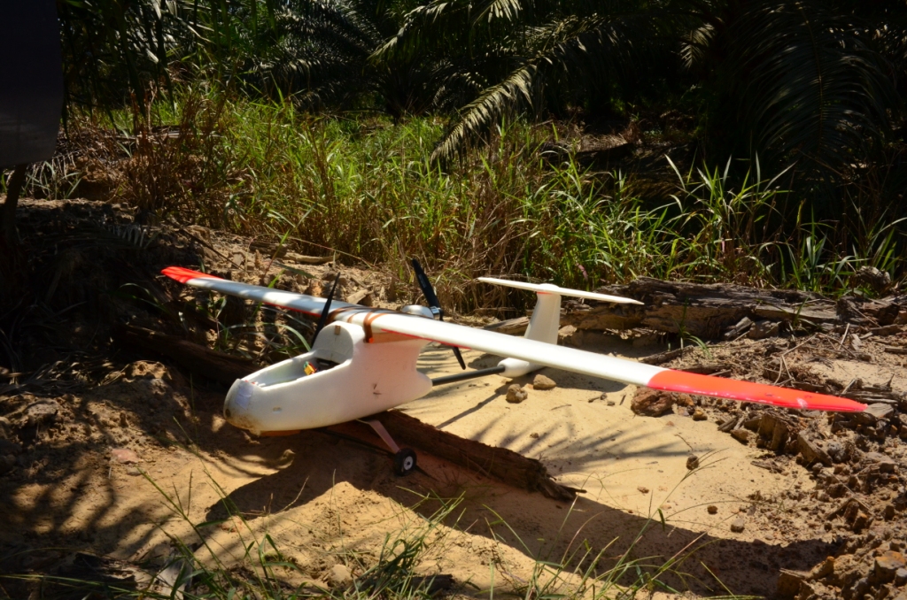
Tekgra T-SW drone inside plantation

Drones for delivery
Flight test new T8 UAV with old wings.
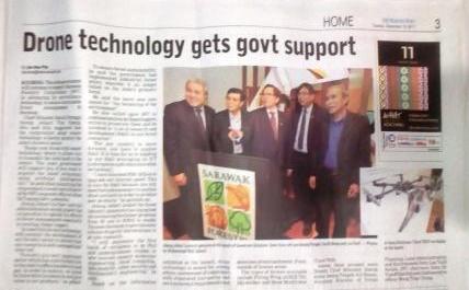

In the news (The Borneo Post). Tekgra UAV T7 in the background.
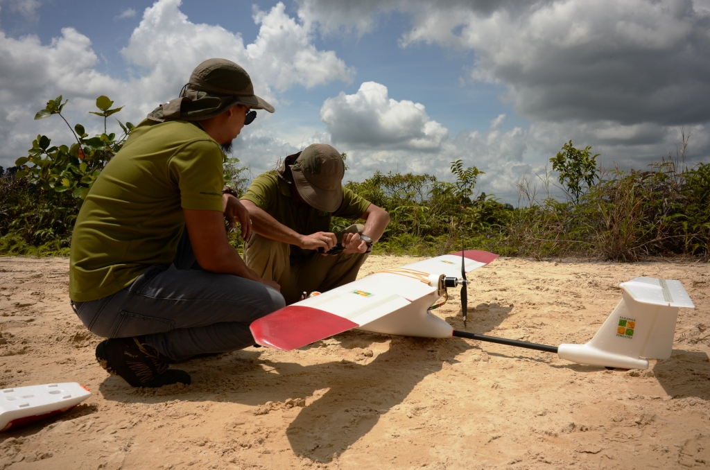
Pre-flight checks.
Student pilots with Tekgra T-SW drone

Initial flying training done on flight simulator.
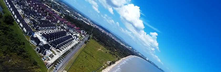
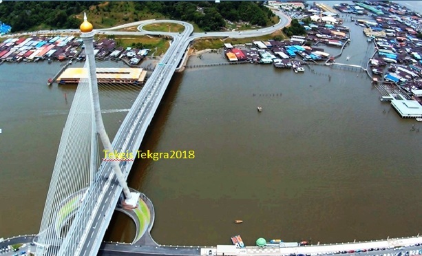
Miri at 100m

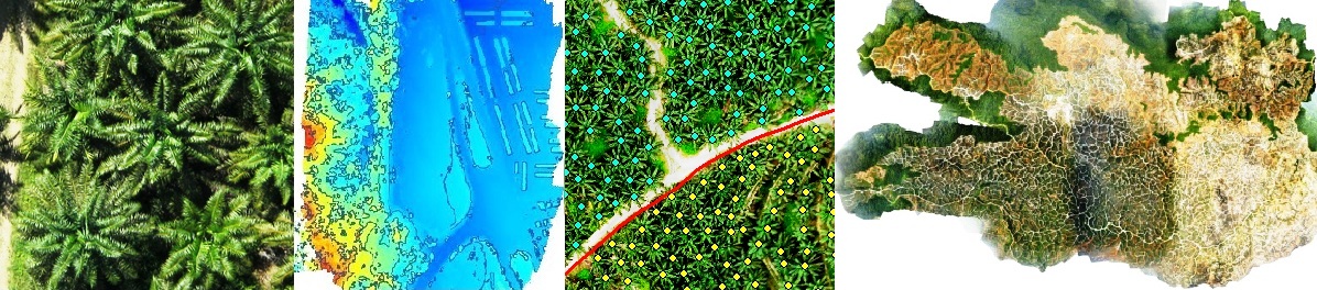
Aerial photography of palm trees in Sarawak taken from our drones.
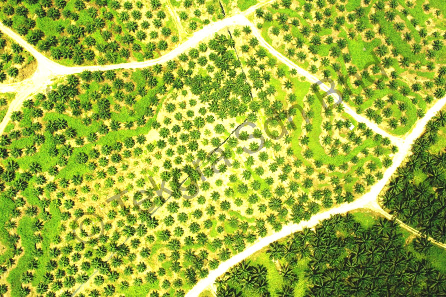
Photo of a oil plam block in Miri, with young and mature trees - a challenge for automatic tree counting algorithm.

Orthomozaic of an Miri estate from 600 images.This was taken using our large UAV.
Total flying time about 60 minutes.

Palm tree count with number of trees per block displayed in GIS.

One of our UAV drone taking a selfie from the on-board camera during landing approach.
Note the wingspan against the width of the plantation road, making auto-landing impractical due to GPS inherent inaccuracy ( +/- 20ft).
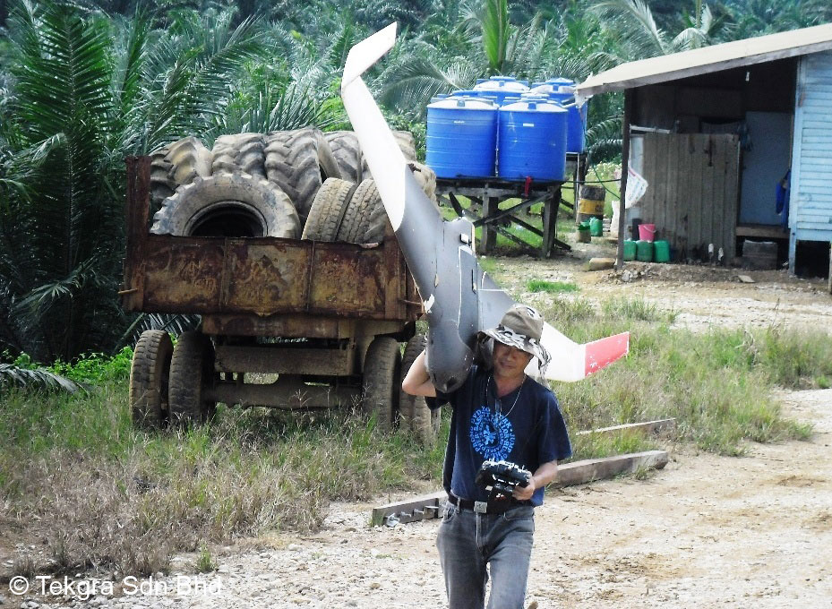
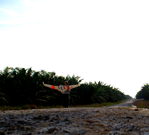
Preparing for another flight for a seven feet wingspan drone, 4kg, UAV.

Take off and start of another 50 minutes drone flight.
A properly designed and maintained UAV drone should always come back, unless one is too ambitious with the flight planning and it ran out of battery. As a double insurance, we have our own Android tracking App sending back the UAV′s GPS location to our phone every two minutes. So we always know where it is.

Sometimes, surprisingly surreal images are captured by the UAV drone. This was taken at Sibu Jaya.

UAVs drones are also used for development. This is taken using a Nikon D300 camera with prime lens. The payload weight alone is 1.5kg. This was flown using by our nitro-engined eight feet UAV drone.

Development progress monitoring - through the un-roofed houses under construction. We seldom see this view except from a drone.

Mosaic composite of a development site.